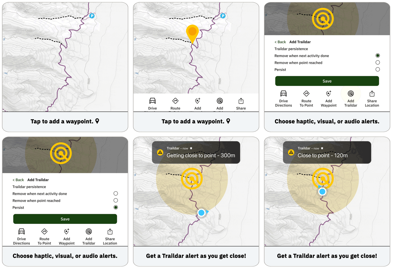
Trailforks has a feature called Traildar that you can use to mark points along the map. You can also create waypoints from the map directly.
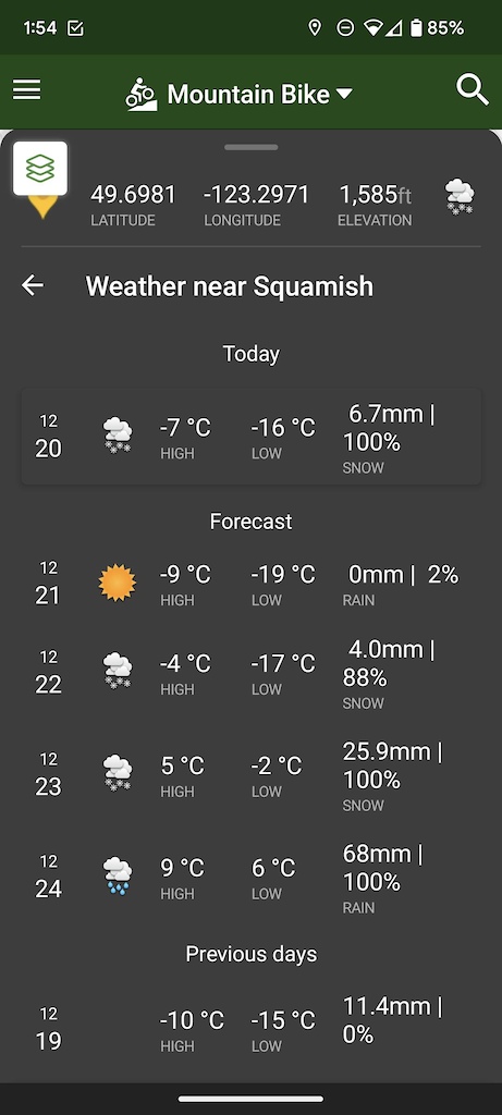
In the mobile app, you can tap and hold a spot on the map. This will show the "user point" window, where you can get some info on this point, including the longitude/latitude and nearby weather forecast. From this window, you have the option to save this point as a waypoint, or you can also hit 'Add Traildar,' which will allow you to mark a spot on the trail or map that will actively alert you as you get close to the point.

Using Traildar

When you've marked added a Traildar point, you can edit or delete the point, share it, receive driving directions to the point, or copy the point's location.
Note: this is only the first version of Traildar, with future updates coming later this year. Additionally, Traildar sends notifications, meaning if you use a device capable of receiving phone notifications, you'll receive Traildar alerts there.
Creating Waypoints
Tapping and holding a point on the map will bring up the option to add the spot marked as a waypoint.
Tapping on 'Add Waypoint' will bring up a form, where you can add a title to your Waypoint, add optional notes, set the activity type, mark as private/public, and add/remove the point from Traildar.
After filling out the 'Add Waypoint' form, the data will be synced to your account. So you can always view your viewpoints on the app map and the website maps.
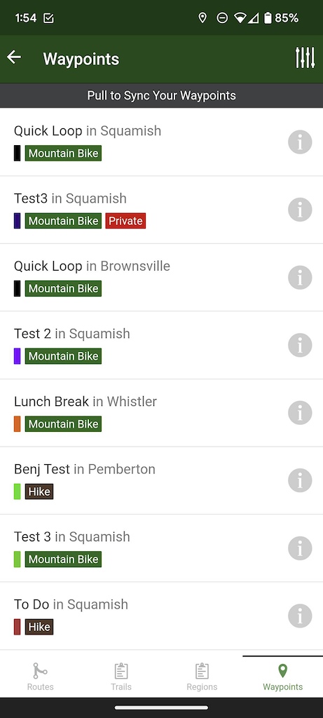
In the app, you can also view a "My Waypoints" list via the main menu dropdown, under "My Wishlist" section.

