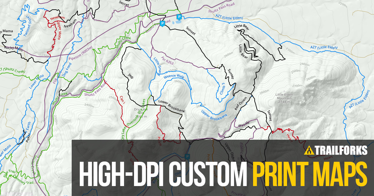
Generating high-resolution printable exports of Trailforks map data is an advanced tool for trail associations, race organizers & map makers.
This tool has a variety of options, such as selecting print paper size, DPI, & format, in order to generate a map image of your requirements. Maps can be exported in raster formats (PNG) or as vector data in a PDF format. These exports can then be opened in a program like Adobe Illustrator for further editing by a graphic designer.
The map images generated from this tool are not intended to be the final product but instead can act as a base layer for creating your own custom map print-outs, sign boards or web graphics.
Generating these on-demand maps requires a great deal of processing on your server. Depending on your server settings, a large file download can take anywhere from 20-30 minutes. Because of the processing time and effort, we limit what options users have access to export. If you require a download with large dimensions for items like a large sign board or banner, please contact us, and we can do a manual export with your specific requirements.
In order to request an advanced manual export, you must fulfill the following requirements:
- Trail association director or approved race organizer
- 5 Trail Karma points ($10)
- 200 Contribute Points
- Restrictions: Maximum DPI = 1,000
Producing print maps is intended to assist trail associations in creating maps for signs, races and promotional material. Print maps generated from Trailforks cannot be used for digital resale for profit. We do allow use of Trailforks maps in printed media if Trailforks credit is displayed, and if you make a request with us. Otherwise, this feature is intended for personal use and to assist trail associations with generating maps for sign boards or other material.
Resources
The Trailforks basemap uses the font "DejaVu" for the trail labels and OSM road labels. You can download this free font here.
You can find Trailforks vector icons here.